Resources
About the Project: The Joshua Tree Report
Background
I’ve just uploaded a new gallery, The Joshua Tree Report, and it’s a bit different than my standard photography/video work. It’s been an ongoing project where I’ve spent a few years aggregating from thousands of pages of public documents to put together. View it here and check out the context below.
About the Project
We were a few weeks out from our wedding when the venue emailed us to the effect of: Sorry, the town says we’re not allowed to host events anymore. That was it. No explanation or details, and an immediate panic. Plans had been locked down for over a year and suddenly it’s falling apart in the last minute.
With no clear answers and no one from the town or venue returning calls, likely due to the impromptu boiler room of bridezillas and moms-in-law-to-be similarly trying to figure out what’s going on, I too tried every angle to get information. One of my novel ideas was to dig through the town council’s and planning commission’s meeting minutes, hoping the wedding venue issue had come up in recent discussions (it hadn’t). But within the bureaucratic mess, I stumbled onto something else entirely: thousands of pages of so-called native plant permits.
As part of a statewide mandate, the town had been building sewer lines and requiring residents to abandon their septic tanks and connect to the sewer. Part of the process was completing these native plant permits, which were designed to help protect and mitigate damage to the Joshua Trees — the towering, slow-growing icons of the Mojave. Damage or destroy them today, and it’ll be more than a hundred years before you see it that size again.
For me, these permits weren’t just forms. I saw them as unexpectedly interesting and oddly beautiful.
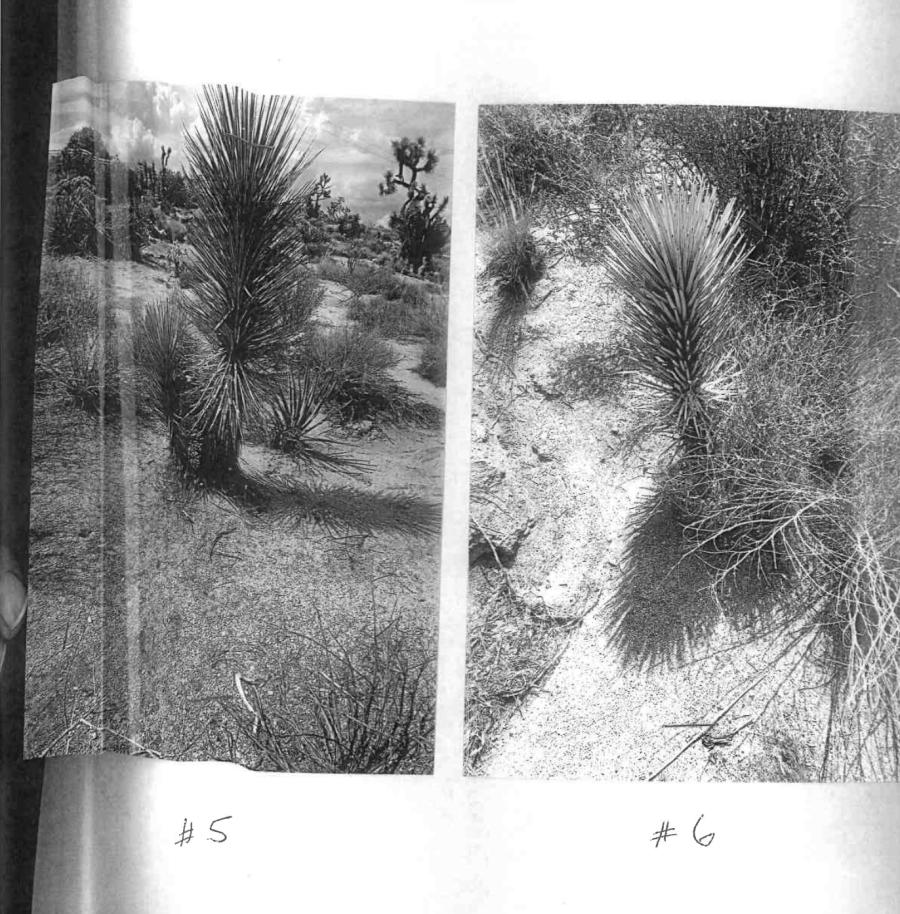
The images: photographs crudely cut and pasted (often physically) onto standard 8.5” x 11” sheets of paper overlaid with drawings, notes, and scribbled out misspellings. These are normally printed on poorly maintained inkjet printers with streaks, roller marks, and inconsistencies throughout, and ultimately scanned into a PDF by a town clerk. Their finger showing in places where they tried to straighten out a crumpled piece of the paper. Sometimes there are holes punched through the document and images, which are generally washed out, badly posterized, composed off kilter, and aggressively cropped. The skies sometimes appearing magenta or the entire image looking like it was taken with a Gameboy dot-matrix camera — in either case adding to the surreal desert landscape.
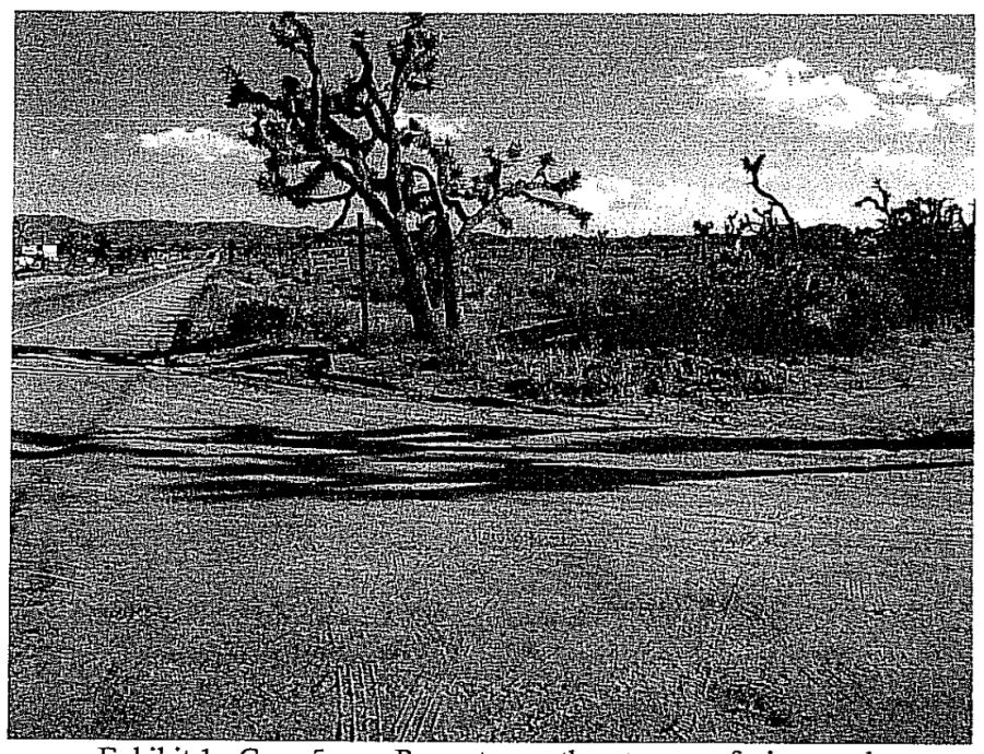
Every now and then, whether it’s because a given contractor happened to know a thing or two about composition, or it’s just statistical chance given enough photos and reports, a striking image comes through. I swear I’ve seen (yet can’t find amongst the thousands of pages) one report that had 14- or 16-point sunburst indicating a professional camera lens. Though at the end of the day, it’s given the same inkjet print and re-scan as the rest. Eggleston would be proud of the democratic photography in play here.
The site plans: usually hand-drawn within the form’s provided box showing at minimum: the property, the plants in question, and the sewer line. Sometimes transcending the box and “coloring outside the lines,” but sometimes asking the viewer to refer to a computer graphic instead. This computer graphic ranging from an elementary Microsoft Paint depiction to a wildly detailed 3D relief map. Other times they’re a screenshot of a satellite map that’s printed and marked up, with the location of the property showing that it’s only 5 minutes from the surveyor’s house. Well, not always a screenshot, sometimes it’s actually a picture of a computer screen with the screen’s pixels and banding clearly visible. Or, maybe the surveyor forgot to grab a picture so they hastily screenshotted a cell phone app’s street view image that includes their own battery level and cellular connection strength. Sometimes these are printed from an email so that the URL and timestamps are still showing in the footer. For a document so public, it’s fascinating how strikingly intimate they can become. Which leads me to…
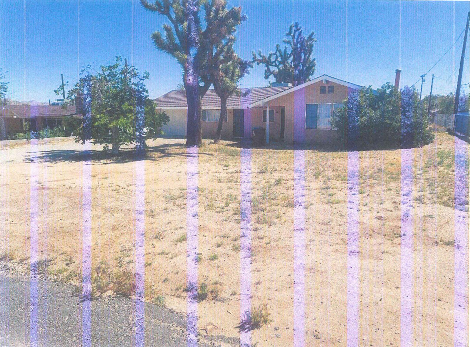
The subjects: occasionally people, such as a construction worker in a deep trench laying ABS pipe or a surveyor in the midst of measuring the plant’s dimensions. Sometimes it’s a dog. Is it the resident’s, contractor’s, or a stray? Hopefully they were good boys… I’m sure they were. And about those contractors; sometimes there’s the intentionally placed logo of their company, as if they’d hoped these permits would be a good forum to get their name out. Even without the humans, dogs, and logos, the signs of humanity are present. In most cases it’s the house, driveway, or street… because… that’s generally where sewer pipes go. Although sometimes you get a deeper glimpse, an almost voyeuristic perspective into people’s lives. The broken down car in the yard, the stock tank being used as a pool, the disrepair of the garage, the eccentric collection of something or another, and the absurd amount of backyard junk that you don’t get to see from the street.
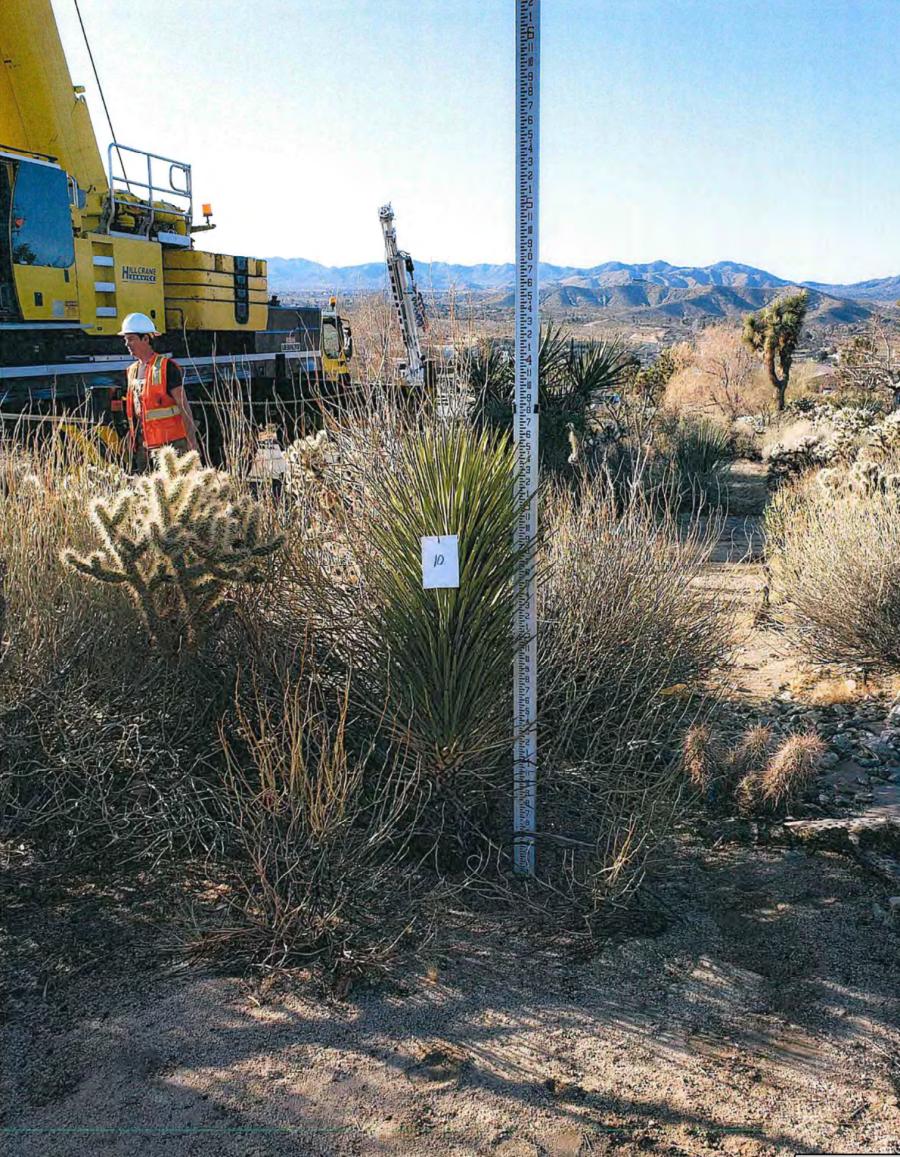
But always: the Joshua Trees themselves, entered into the indelible records of progress. Often shown measured with tall rulers, tagged, and numbered like suspects in a police lineup. Photographed and annotated by an arborist or botanist, then planned around (or though) by the plumbers, and ultimately judged upon by the town planning committee.
These documents were never meant to be seen this way.
They come into the town hall as packets printed out and reviewed like any other construction permit. Then they are filed away once the matter is settled. But assembled together in this project, they show the dichotomy between development and natural identity — you know… the same general theme I’ve been photographing for over 15 years in Field Closed for Maintenance and my other projects — but in a completely new and unique way.